16 Why use python for maps?
QGIS is a great bit of software that is worth knowing how to use.
(We wouldn’t have taught it otherwise!)
I quite often use it as my first port of call for a new dataset.
But there are a lot of benefits to knowing how to create maps in Python too - creating maps in Python opens up a whole world of opportunities to you.
By the end of this section, you will be able to make all sorts of maps within Python and incorporate them into a range of outputs to enable other people to make use of them within or outside your organisation.
16.1 Wrangling and prep in one place
By doing your data wrangling and making your final maps all in one script, it’s a lot easier to adjust the calculations that feed into your map
You can use all of the useful techniques you’ve already learned for Pandas to filter your datasets, create additional columns, and more…
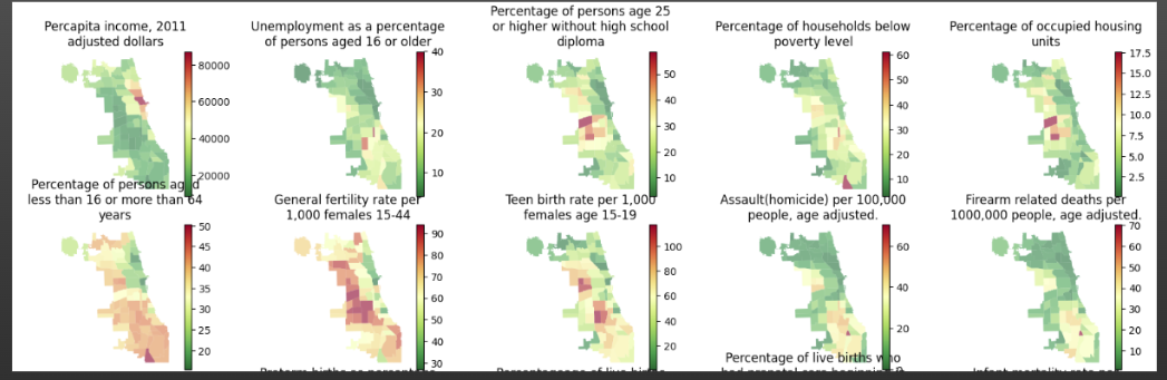
16.2 Same code, multiple maps
By using functions or loops, you can rapidly start to make maps to show different aspects of your data (6 lines of code actually made 25 maps here)
You can also use scripts (and reporting tools like Quarto, which we will cover in a later part of the course) to create large numbers of reports for different services or areas automatically
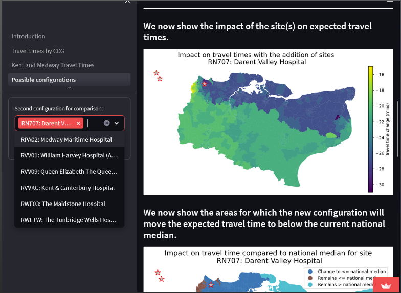
16.3 Interactivity for end users
By using Python maps, you can build them into interactive web-based tools so they will be generated on-the-fly based on combinations your users choose
(which we cover in a later module too!)