23 What aspects can travel times help me with?
A lot of the time when you’re doing geographical problems, you need to know how long it will take to travel between two points.
For example, you might calculate:
- The distance between a patient’s home and a clinic or hospital
- The distance between two patients for a community nurse
- The distance from an ambulance to a patient
And so on.
From this, you can calculate:
- The average journey time to a hospital for all patients
- The most efficient route for the community nurse to take
- The carbon emissions of patient and staff journeys
And so on!
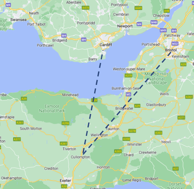
You could just calculate the straight line distance between two points…
But that leads to the author being constantly told that their nearest store is in Cardiff rather than Bristol.
And this oversimplifies a lot of problems!
- What about traffic?
- Is there public transport?
- What about cycling or walking?
Being able to work with travel times allow you to do a lot of things.
23.0.1 Explore equity of access across regions
23.0.2 Explore the impact of new service configurations
23.1 Considerations
Now, it’s really important - especially when considering equity - to consider what kind of transport you are interested in.
Cars (free-flowing traffic)
Cars (in traffic)
Public transport
Walking
Cycling
You might also want to consider how travel mode might be influenced by other factors - such as deprivation or age.
23.2 Difficulties with calculating travel times
However - calculating travel times takes computational power.
We’re lucky to have services like Google Maps that allow us to do this for free (to us…) when we want to get somewhere.
But someone, somewhere, is paying for it!
When you need to do this several hundred or thousand times - across different routes and travel methods, the cost will rack up.
This means you will often find that you are either
- Limited to a small number of requests on a free tier
- Limited to making requests slowly
You will need to carefully consider how to structure your code to minimize the number of times you need to look up the data from the web service!